
Phenomena Maps
Getting to know your place, one phenomenon at a time.
March is mapping month! Each week I’ll share a mapping-themed activity for you to try out at home or in your favorite location. This week’s exercise takes a deep dive into your favorite place, mapping out the different phenomena that occur there.
The first thing I should do is to define what I mean by phenomena. A phenomenon (singular of phenomena) is something that occurs that you can observe. If you grew up in a culture similar to mine, you may understand this word to have a more mystical meaning, referring to things that are unexplained or unexplainable. But it actually applies to all observable occurrences or events.
I think it will be helpful to jump right into the exercise.
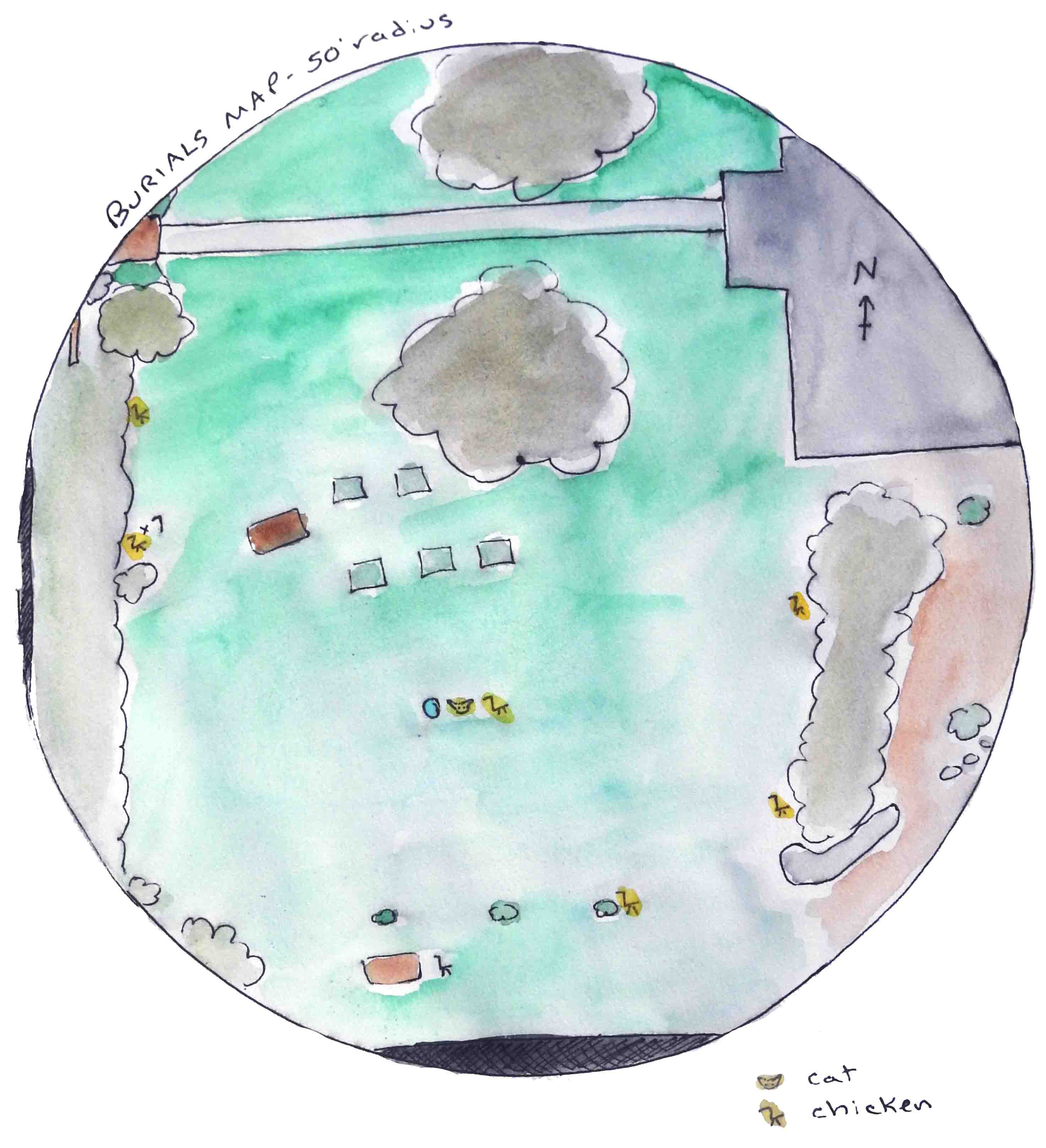
In this week’s activity, we will be creating maps of a particular spot of land. You can create these maps for any size area, but for the sake of this exercise, consider a spot that is 50 to 100 feet across.
We’ll start with a base map. The purpose of this map is to provide a foundation for all your other maps. It should include major characteristics of the landscape to help orient you to the location you’ll be mapping. There doesn’t need to be a lot of detail, but it is helpful if you can make it to scale. You can also include some map elements, such as a compass rose, a scale, title, and a legend (if it’s helpful). Here’s an example base map:
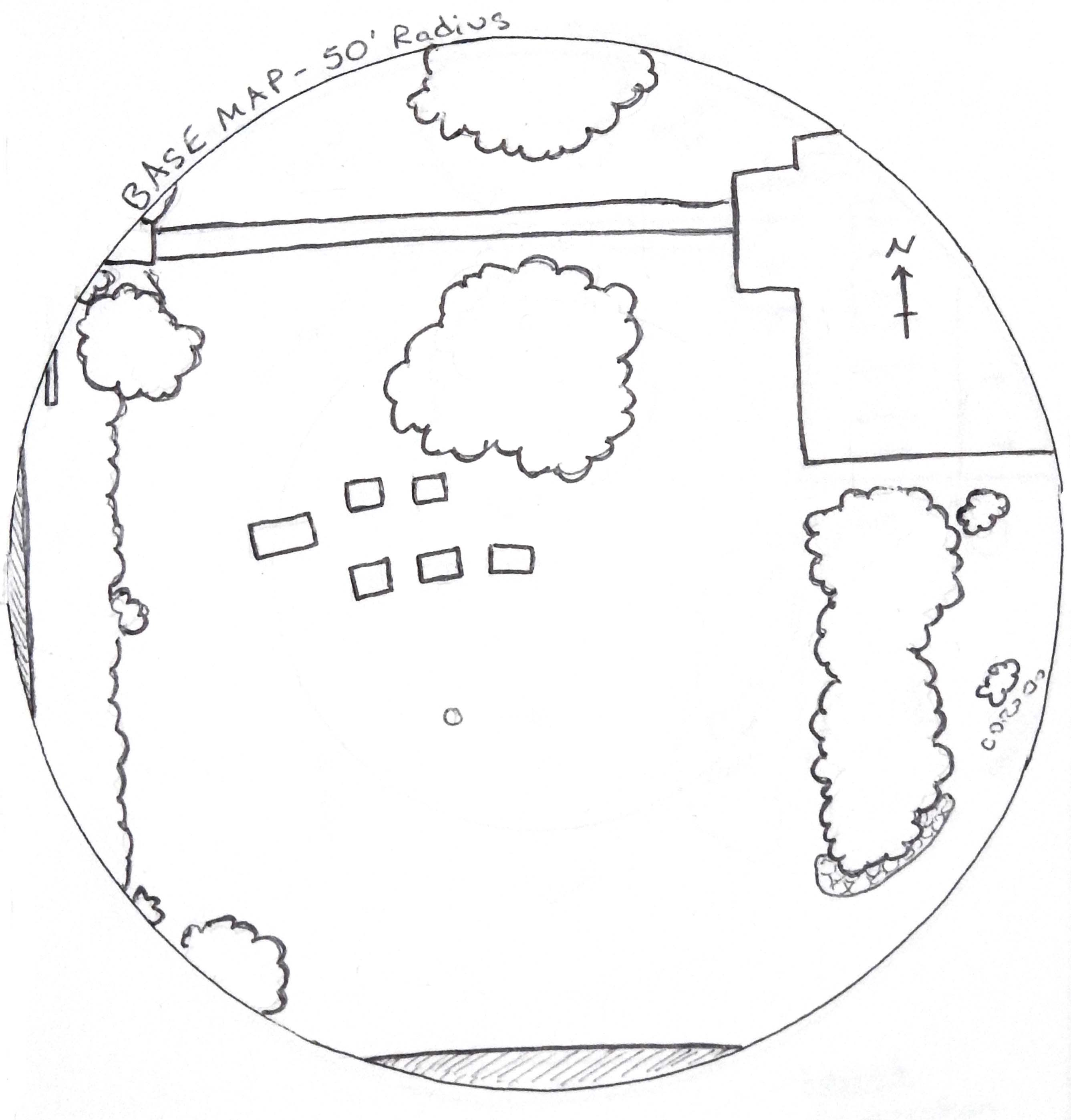
You’ll use your base map as a template for the rest of the maps. Each of the next maps will focus on a particular phenomenon. Let’s start with water.
Keep reading with a 7-day free trial
Subscribe to Postcards from Planet Earth to keep reading this post and get 7 days of free access to the full post archives.